The Juneau Ice field is located in the Coast Mountain Range and is North America's 5th largest ice field with over 1,500 square miles of land. Covering nearly 100 miles North to South and 45 miles East to West, the Ice field feeds over 38 large glaciers including the Mendenhall Glacier in Juneau, Alaska and the Taku Glacier. According to the Tongass Forest Service the ice field stretches from upper Taku Inlet north nearly to Skagway and from the coastal waters of the Taku Inlet, east across the borders of the United States into Canada.
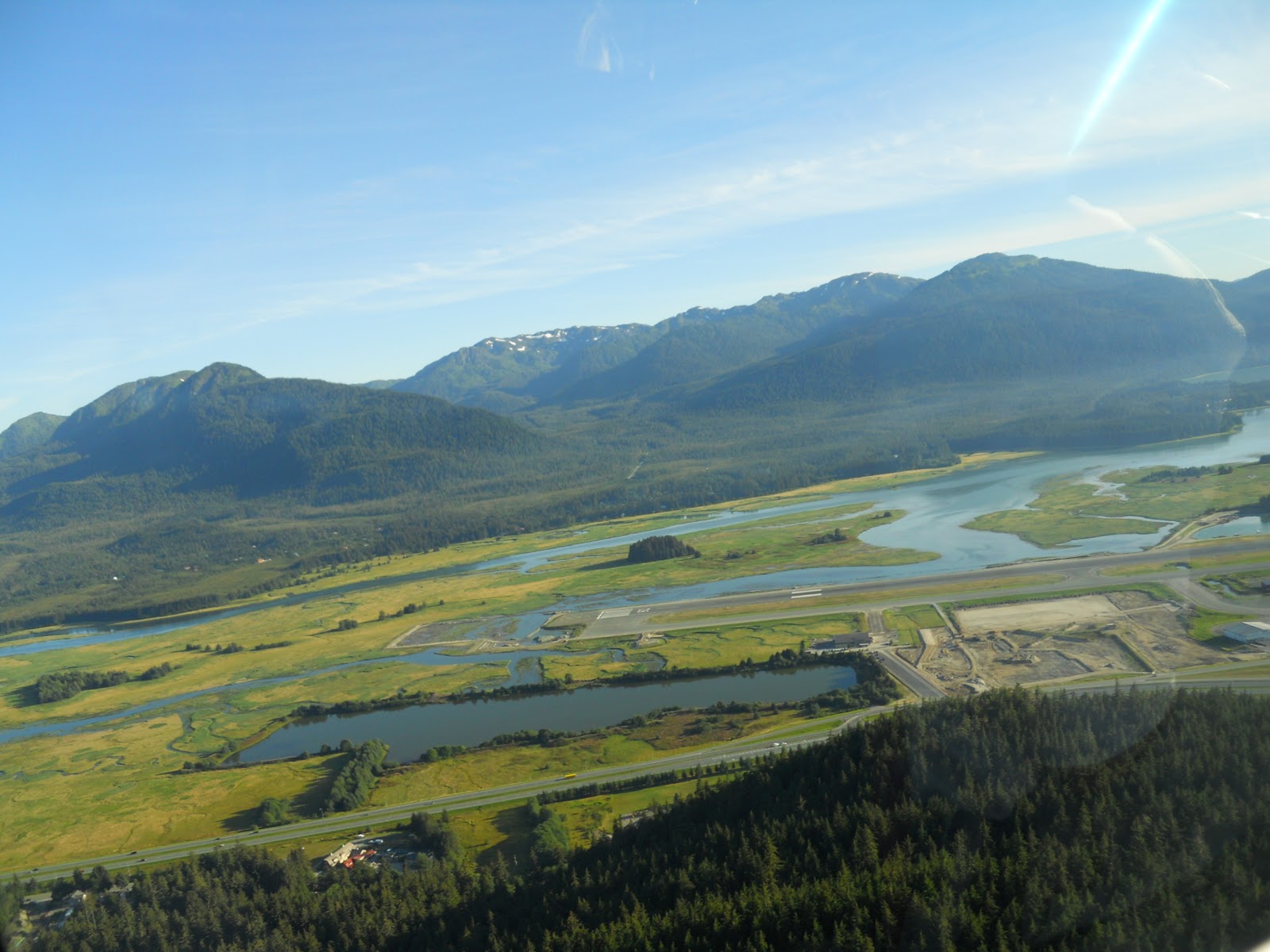
On a very warm and sunny day here in Juneau we decided to take a tour of the Juneau Ice fields. Twice previously we had attempted the trip and had it canceled due to low visibility and poor weather conditions. Our trip was a 2.5 hour flight called "Pilots Choice". You don't know which glaciers you will be able to visit until you are in the air. Below you will find a map published by the US Forest service showing our flight.
We left the Juneau airport by helicopter and could see the Mendenhall Glacier in the distance. Then over the Herbert Glacier , Thiel Glacier and set down at the confluence of the Gilkey and Bucher Glaciers. It is rare that most trips make it this far but due to the perfect weather conditions we were able to fly as far north as our pilot goes. We were able to spend about 15 minutes on the ground looking at the crevasses, melting ice and for those who were adventurous even taste the cold water.
 Helicopter landing at Gilkey Glacier
 |
| Mendenhall Glacier from the air |
 |
| Tongess National Forest |
 |
| Moss on ice |
 |
| Rhino Peak |
 |
Approach to landing on Glacier

|
Snow and ice depths can vary on the ice field from 800 feet to 4,500 feet with the massive accumulations of ice and snow stretching from the upper Taku Inlet north to Skagway. Those who are adventurous can even take a dog sled ride on the ice field.
 |
| Mountain Goat |
Devil's Paw is the highest peak on the Juneau Ice field and is the international boundary between Canada and Alaska. The West side of the peak is in the Alaska and the East side is in British Columbia. Devil's Paw is 8,585 feet high but the ice field elevation base is at 5,000 feet. The peaks on the ice field have such names as Little Matterhorn, Guardian Mountain, Organ Pipes,and Slanting Peak. Flying past the various peaks you can often tell how they came by their names. I was hoping to see a few Mountain Goats along the ridges, but alas that did not happen. The only wild life we saw was a few hikers sitting along the ridge of Mt. Juneau. Perhaps another time. I must say that the flight viewing the Mountains and Juneau Ice fields was spectacular!


1 comment:
You updated the original post. Very enjoyable, although I am still bummed that every trip I have been there on weathered in days. Sigh. Maybe someday.
Post a Comment